![]() The Pacific War Online Encyclopedia
The Pacific War Online Encyclopedia
|
| Previous: Batangas | Table of Contents | Next: Batchelor |

Batavia (106.817E 6.167S) was known as Djakarta prior to the arrival of the Dutch and would revert to that name after Indonesian independence. It was the Dutch administrative center of the Netherlands East Indies. Located just south of the Equator, it has virtually no seasonal variations in temperature, but there is a relatively dry season in summer when the monsoon switches from out of the north to out of the south, dropping most of its moisture before reaching the north coast of Java.
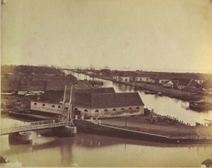
The city was founded in 1619 by the
Dutch in a coastal area
that was heavily populated but not urbanized. Originally
patterned after
Dutch cities, Batavia’s canals quickly silted up and became
perfect mosquito
breeding grounds, necessitating a complete razing and rebuilding of the
city,
starting in 1811. The original port, on the banks of the
Tjiliwung River,
had silted up by the 1870’s, and the Dutch built the
artificial harbor of Tandjung Priok (106.871E 6.129S). By 1941 the population was about
533,100 persons, of whom 37,100 were Dutch and 78,800 Chinese.
A major military center, Batavia boasted an airfield, 18 antiaircraft guns, and 26 coastal guns in 1941. Tandjung Priok had two hangars for four flying boats and other military facilities. Batavia fell to the Japanese on 5 March 1942, following a pincers operation by 2 Division from Bantam Bay and 230 Regiment from Eretan Wetan that forced the defending 1 Regiment to retreat to Bandung. Batavia remained in Japanese hands throughout the war.
Climate Information:
Elevation 26'
Temperatures: Jan 84/74, Apr 87/75, Jul 87/73, Oct 87/74, record 98/66
Rainfall: Jan 18/11.8, Apr 11/5.8, Jul 5/2.5, Oct 8/4.4 == 70.8" per annum
References
The Pacific War Online Encyclopedia © 2007, 2010, 2014 by Kent G. Budge. Index